History
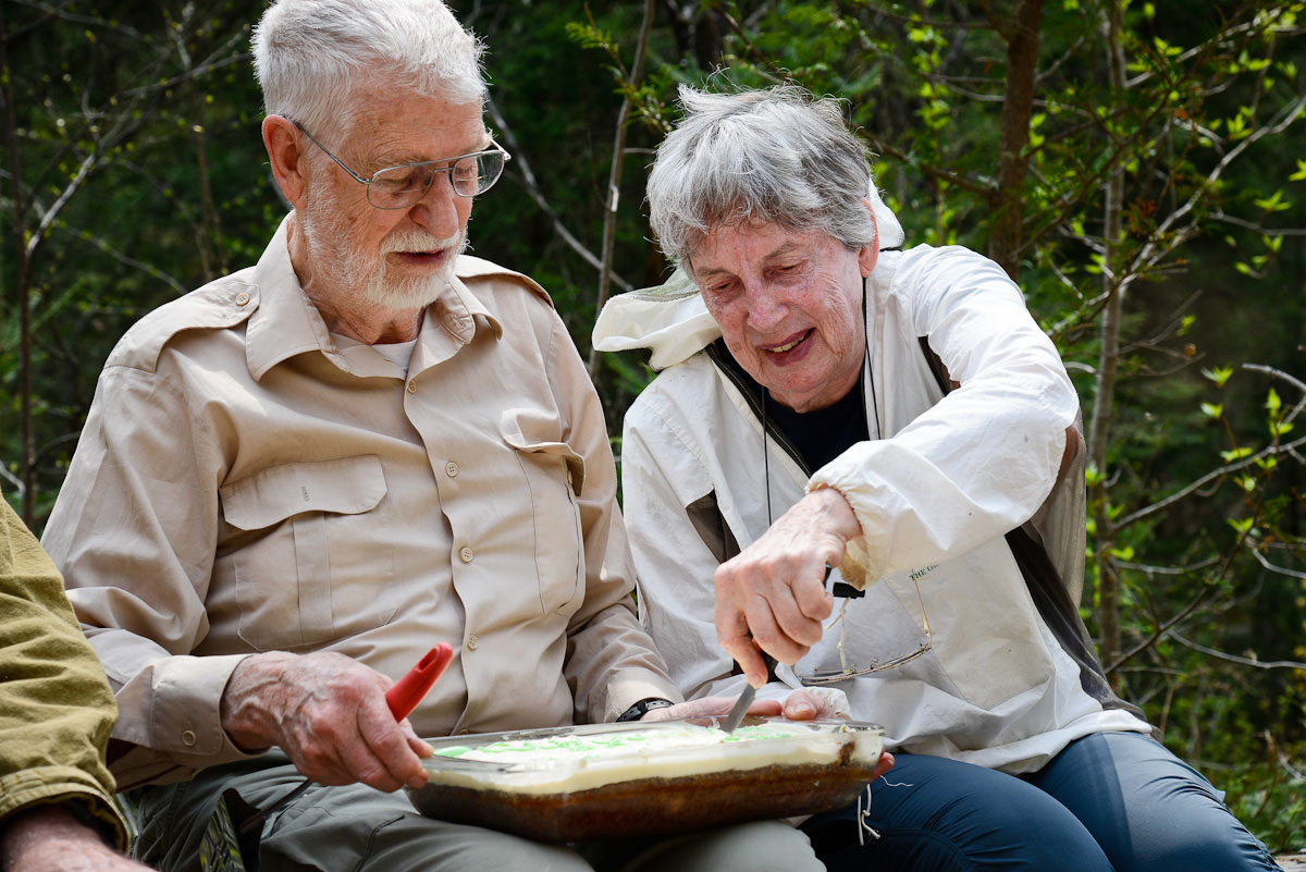
The property is being protected under an easement agreement by Gray and Aileen Merriam, who acquired Clydelands in the early 70’s through a tax-delinquent properties auction by mail-bid.
Gray and Aileen didn’t know where Clydelands was except as a location on a topographic map, but it showed that it was near the top end of the Clyde watershed and therefore was a valuable conservation holding. After much exploration they found their property, which turned out to be the nicest property of all those they had explored. It was later flagged by the Ministry of Natural Resources and Forestry (MNR) when logging was to begin in the area and the Merriam’s finally had an exact boundary for the property.
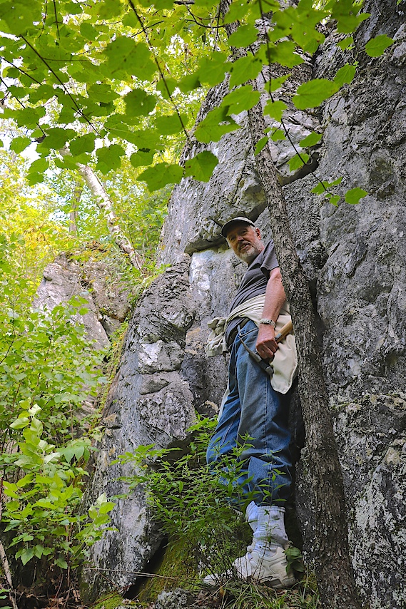
Despite never gaining access, Gray’s father left a request that his ashes be scattered at Clydelands. There now are two bronze plaques on the rocky outcrop that faces south, one for Arthur Reginald Merriam and one for Clara Ida Merriam. So, in the Merriams’ words, “Clydelands now has strong bonds with our family.”
Nature Highlights
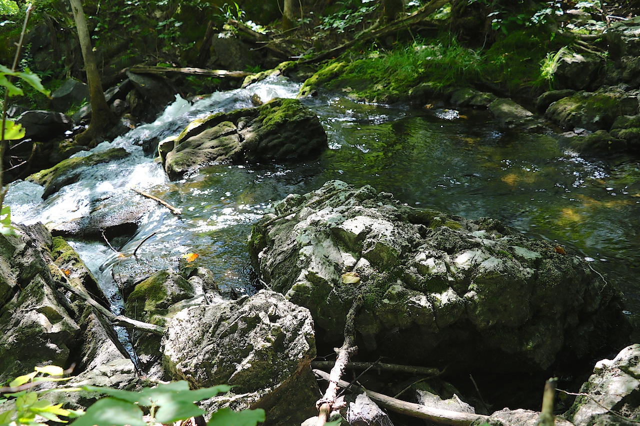
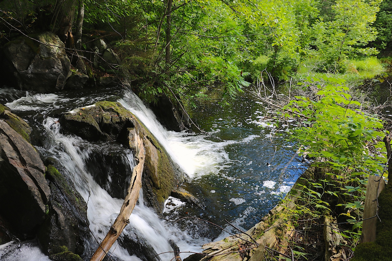
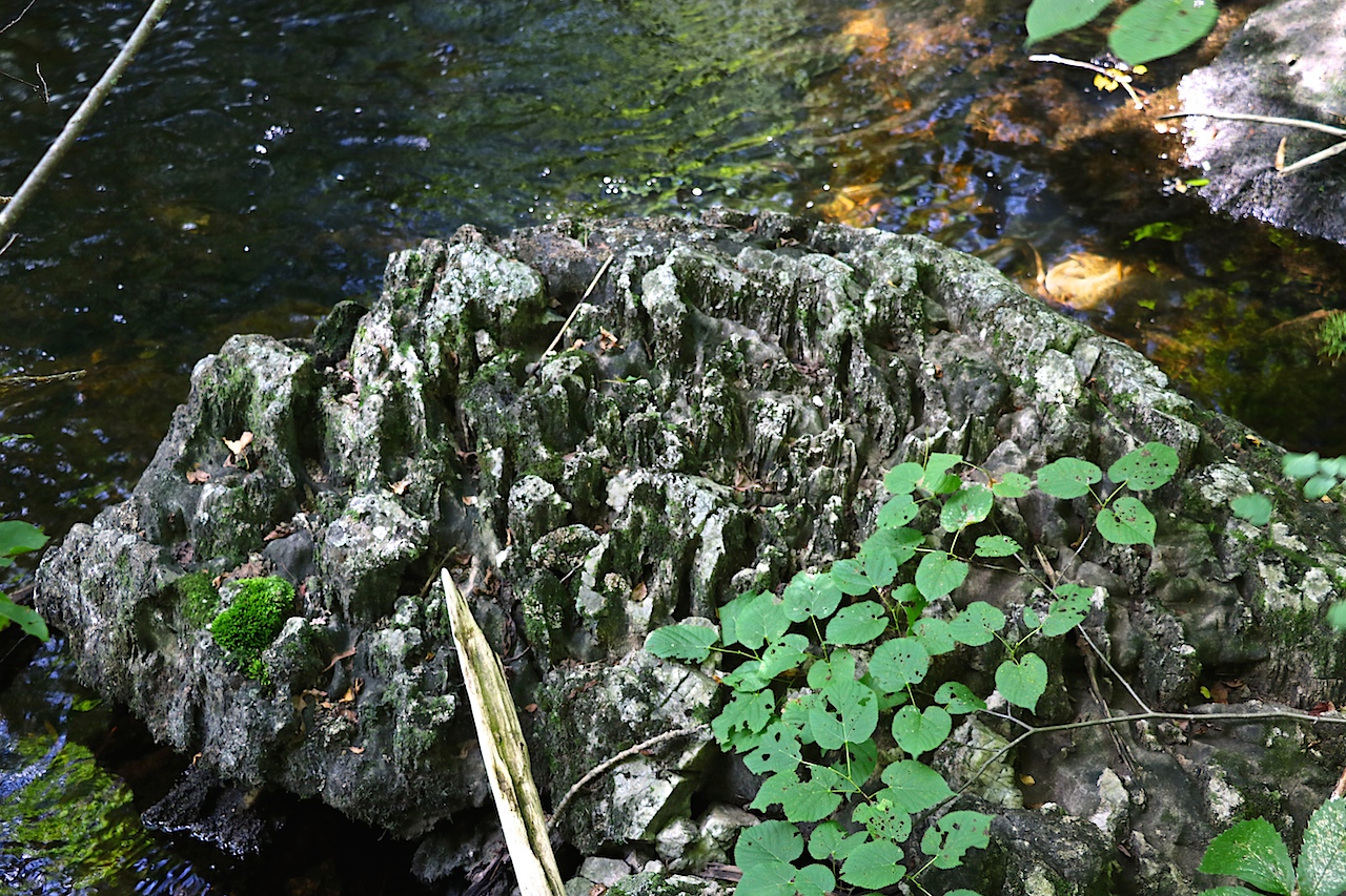
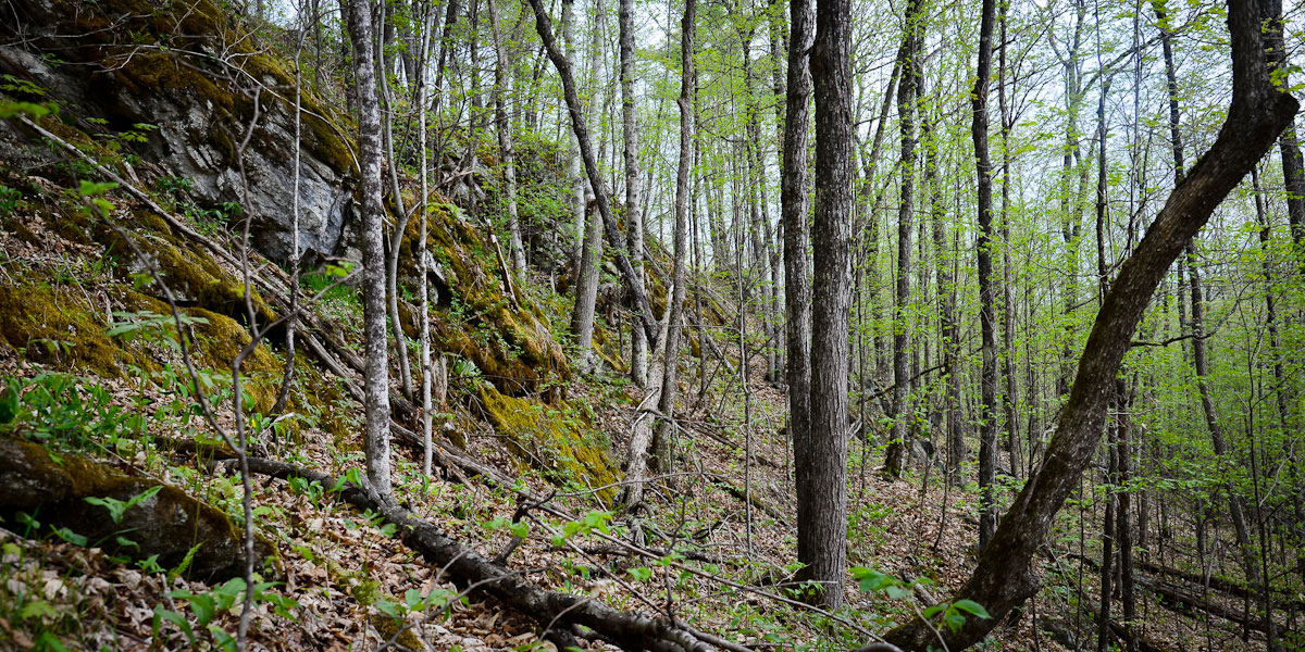
At Clydelands, deciduous forest overlies a marble landscape which includes spectacular karst topography such as sinkholes, caves, and pinnacles. It is dissected by Middle Clyde Creek with shallow pools and waterfalls. Calcium-loving ferns overhang the rock faces near the creek.
The geology at Clydelands is striking. Massive dolomitic marbles underly the property south of Middle Clyde Creek. North of the creek, the marble is highly calcitic showing many spectacular features such as alternating steep-sided ridges and valleys running perpendicular to the creek, caves, pinnacles, and highly weathered rock faces. There are well-developed sinkholes several meters wide and as much as 3-5 m deep. These attributes are characteristic of karst topography developed through dissolution processes in relatively soluble rock.
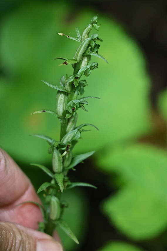
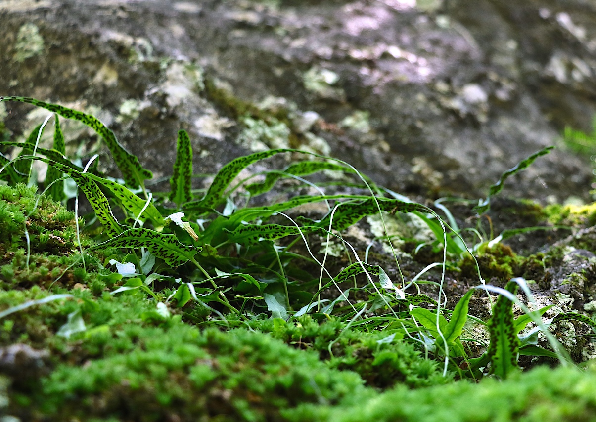
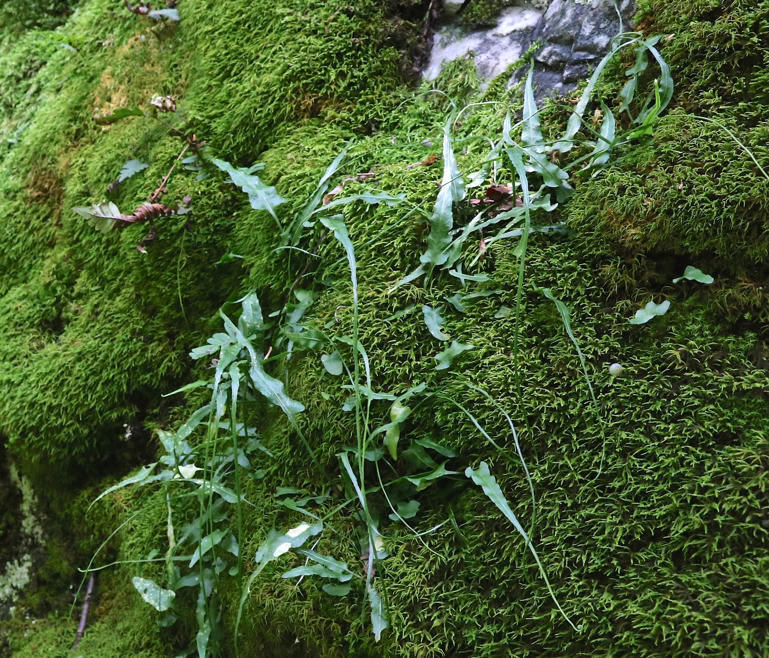
Hardwood forest composed of Sugar Maple, Red Maple and Basswood with scattered Red Oak, Ironwood, Black Cherry, and Beech covers most of the property. Shrub diversity is notable and includes Mountain Maple, Striped Maple, Hobblebush, Hairy Honeysuckle and a few Leatherwood plants. The groundflora has regionally characteristic hardwood forest species: Blue Cohosh, Wild Sarsaparilla, Shinleaf, Rose Twisted Stalk, Hog-peanut, Partridge-berry, Mountain-rice, Blue-stemmed goldenrod, and Large-leaved aster. Fern species diversity is high. Two ferns of calcareous conditions occur in the vicinity of the creek: Maidenhair Spleenwort and Walking Fern.
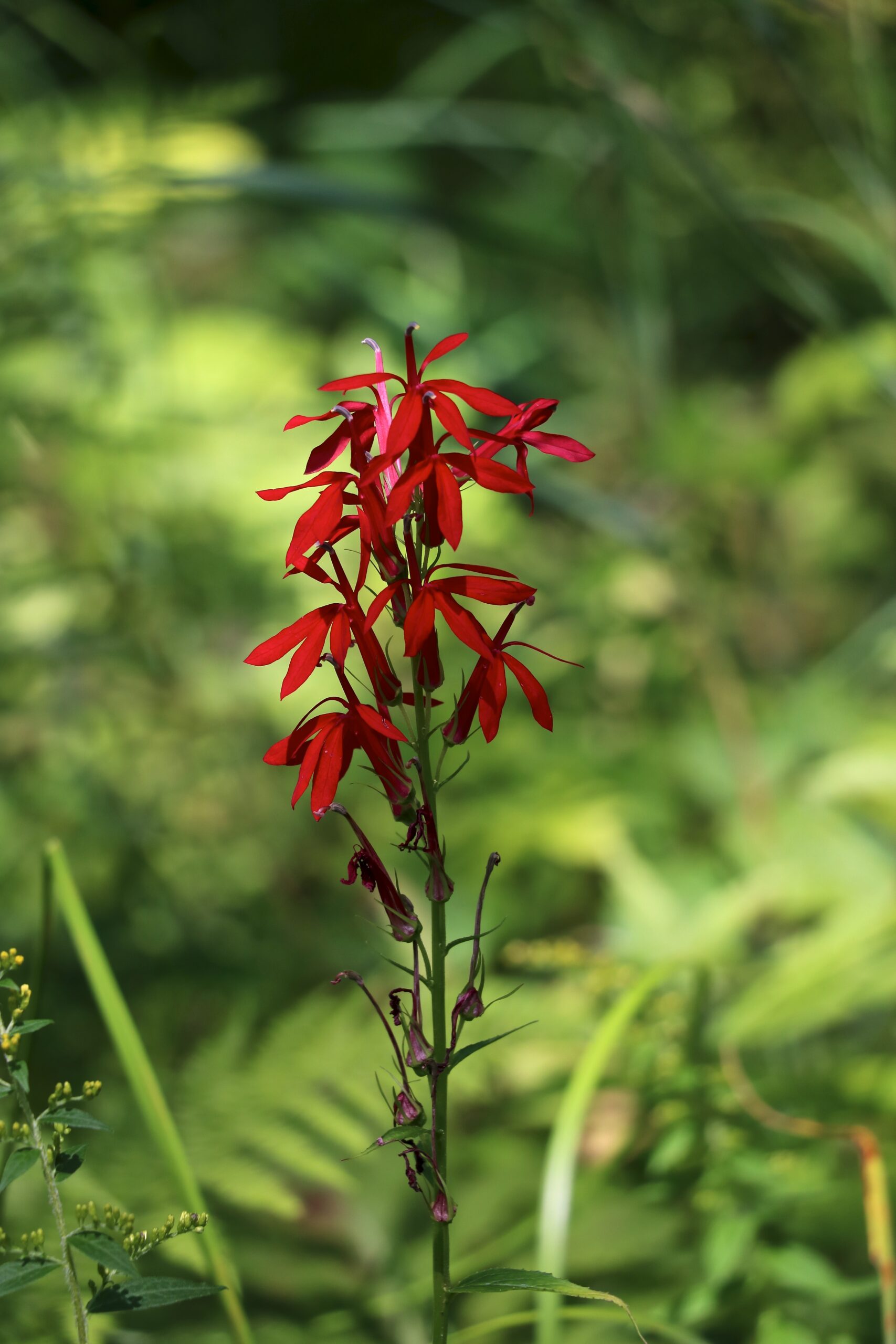
In late summer, the creek bank is dotted by colour with Cardinal Flower, Joe-pye-weed, and Boneset. Where the creek widens there are narrow bands of wet meadow adding to riverine habitat diversity.

